Detailed 3D Modelling of Development Design for Earthworks Feasibility
Geomatics for Construction & Asset Management
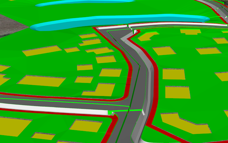
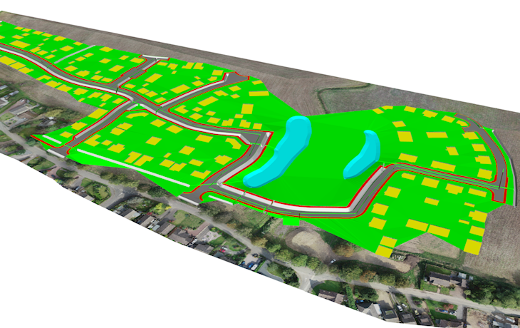
3D modelling of a proposed residential development involving transposition of 2D information to 3D. Drainage runs, attenuation and swale features all made coherent in the initial stage cut/fill earthworks assessment. Videos of 3D model completion were made to tie in with the aerial pointcloud data, and the full project team were able to view and have confidence in early-stage earthworks costs.
Project: Aerial topographic survey to aid 3D modelling of development design for earthworks feasibility
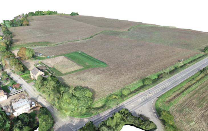
Nature of site: Low lying open farmland on the edge of a village, requiring level raising to address flood risk.
Scope: Pointcloud data obtained by the drone processed to provide accurate ground levels, then used to develop an Digital Terrain Model (DTM) for onward use in cut/fill assessment. 3D modelling of the proposed development and all drainage features was a major part of this project.
Client: Residential developer
Duration of works: 3 weeks
Value: £7k