Pointcloud acquisition survey of large site adjacent to flight restriction area of major airport
Geomatics for Construction & Asset Management Site Assessments
Client required high resolution ground level information to allow a detailed analysis of the land profile to support preliminary stage designs associated with a large housing project. Pointcloud survey of the site was preferential to traditional 'on-the-ground' methods due to the significant cost and time savings available using aerial survey tech.
Project: Aerial Topographic Survey to inform Residential Masterplan and Preliminary Civils Design
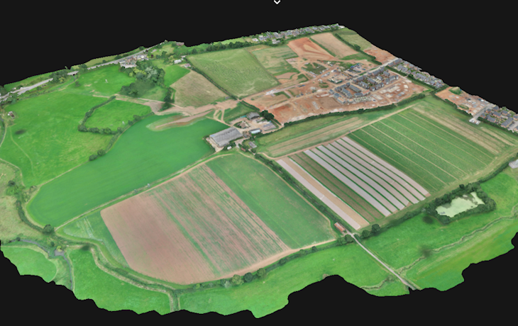
Nature of site: Circa 70Ha of open farmland, rural buildings and areas of new development - all located in a Flight Restriction Area (FRA) of a major UK airport.
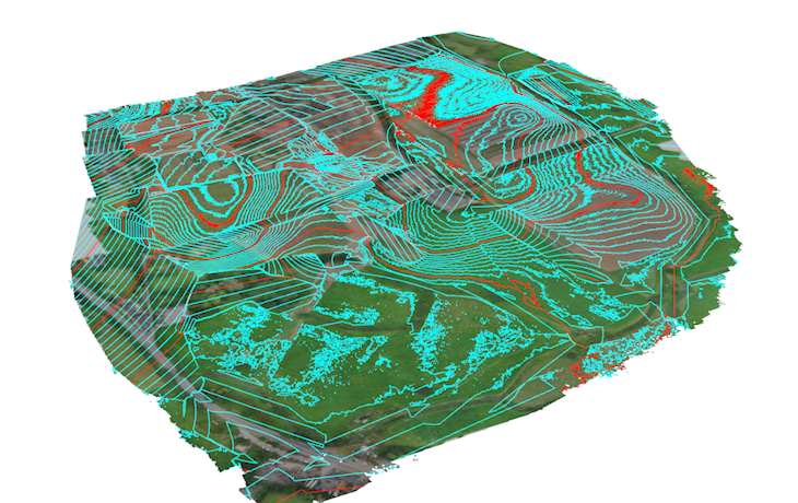
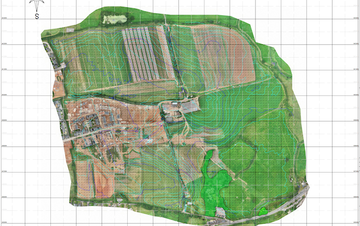
Scope: High resolution pointcloud data obtained by the drone was processed to provide accurate ground levels, then used to develop a cleaned down digital terrain model (DTM) for onward use in base mapping and design. 3D-CAD plans and web-hosted 3D interrogatable digital site model, all part of the service.
Client: Residential developer
Duration of works: 1 Week
Value: Approx. £4500