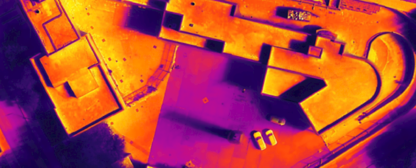
Aerial Asset and Thermal Inspection Survey – Ecology
Innovative thermal Imaging & drone surveys to support baseline ecological survey of building due for demolition
Read More
Innovative thermal Imaging & drone surveys to support baseline ecological survey of building due for demolition
Read More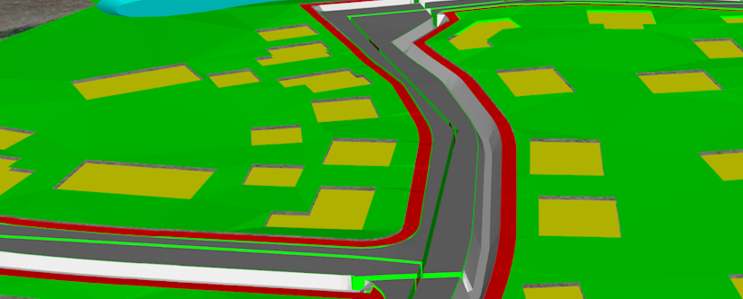
3D modelling of a proposed residential development involving transposition of 2D information to 3D.
Read More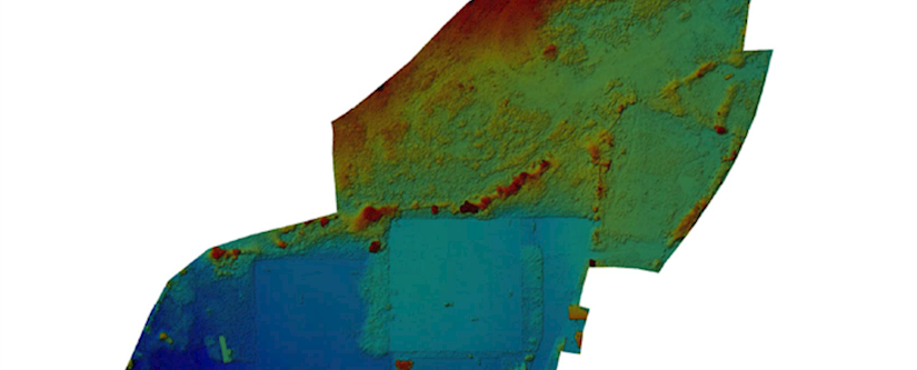
This challenging residential project on the site of former heavy industry near Bradford, West Yorkshire required EPS to generate a Materials Management Strategy to maximise the re-use of suitable soils through a large re-profiling exercise.
Read More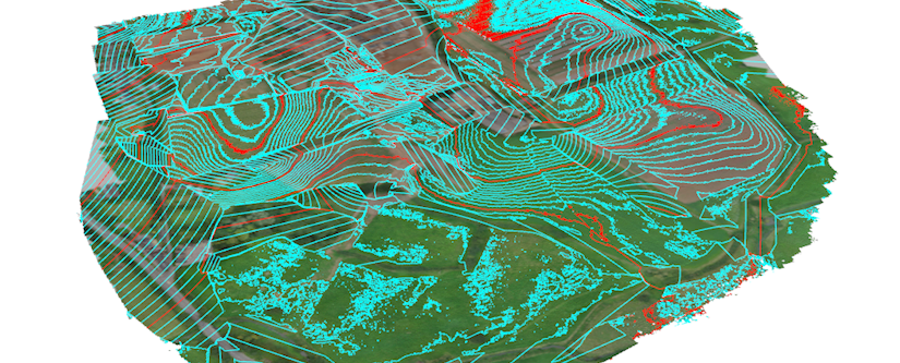
Aerial topo undertaken to provide geolocated base information for proposed housing development at feasibility and masterplan design stage at 70ha site located in FRA and RPZ of a major airport.
Read More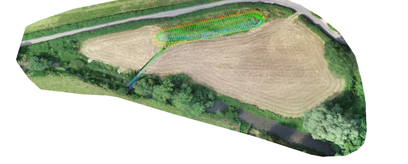
Aerial topographic survey undertaken to determine site level data for farm to support flood risk assessment associated with proposed development of a lake within a floodplain.
Read More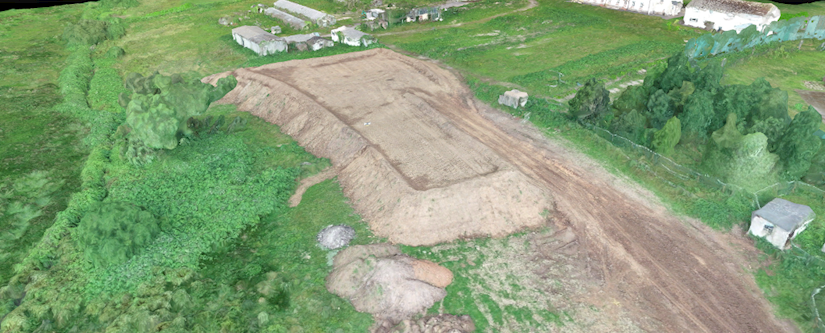
Aerial survey on an active construction site to provide data on stockpile volumes and cut/fill volumetrics on a newly stripped earthworks area.
Read More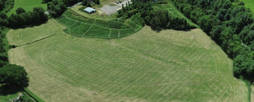
With the use of powerful modelling software, an accurate ground level was determined for the site - even in densely vegetated areas.
Read More